Download Your Report

By opting in I acknowledge the Coptrz Website Privacy Statement, agree to receive marketing communications from Coptrz and are over 18 years old.

I also agree to the storing of cookies on my device to enhance site navigation, enable site usage analysis, and assist in marketing efforts in accordance with the Coptrz cookie policy. I understand I can change my communication preferences by unsubscribing from any email and can edit my communication choices by visiting the Preference Centre page.

Coptrz respects your privacy.

Free Report 

How LIDAR is revolutionising mapping and geospatial data 

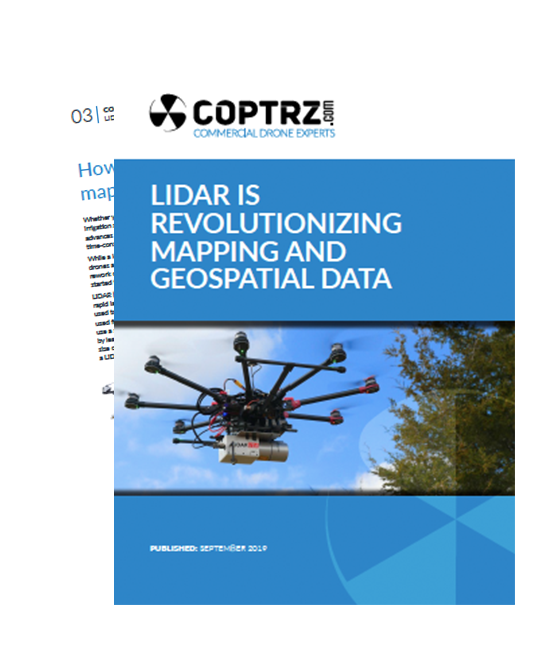
Drones equipped with LIDAR cameras are revolutionising the way we gather data, making operations faster, safer and more cost-effective.

Whether you’re documenting a road accident scene at night, designing rice field irrigation systems or surveying archeological sites under dense forest canopies, advances in 3D mapping and geospatial data capturing are making these once time-consuming tasks, quicker and more efficient than ever before.

This report includes:

  • Overview: How LIDAR is revolutionising mapping and geospatial data
  • Examples of aerial LIDAR systems in action
  • Accident scenes
  • Forestry
  • Agriculture & Landscaping
  • Terrain Modeling
  • Mine Inspections